Urban planning software is a type of software that helps urban planners design and plan cities.
Do you know that the city you are located in might be created via such programs!?
In this blog, we’re going to look at some of the best urban planning software.
Let's get started.
1. SketchUp
SketchUp is a 3D modeling computer program for a wide range of drawing applications.
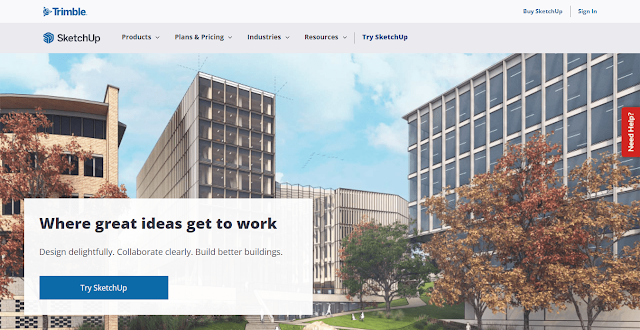
| Based | Online |
| Launched | Colorado |
| Year | 2000 |
| Pricing | Paid + Free = Freemium |
These applications include-
- Architectural design
- Interior design
- Landscape architecture
- Civil and mechanical engineering
- Film and video game design
The latest version of SketchUp is available free of charge from Google with access to many features.
A feature-limited free modeler called SketchUp Make is also offered.
It was created by @GoogleSoftware in December 2006 when they acquired @TrimbleEnterprise:s @SketchUp software division with the intention of adding 3D capability to Google Earth.
Google’s focus on this product has been criticized because it does not contain all the tools needed by professional architectural firms to produce construction documents.
2. ArcGIS CityEngine
ArcGIS CityEngine is a great urban planning software that can be used to model, visualize and simulate urban landscapes.
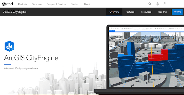
| Based | Online |
| Launched | California |
| Year | 2008 |
| Pricing | Paid |
It includes tools for data management, what-if scenarios, 3D model generation from GIS data and other features to help you with city planning.
CityEngine is available as an online service that does not require any installation on your computer or any credit card information.
If you want to have more control over your projects, it’s also available as an ArcGIS Desktop application that runs on Windows 7 or later (64 bit) operating systems only.
The free trial lasts for 14 days after which you need to buy a license from the website if you want to continue using it after the trial period ends.
3. Archicad
Archicad is a BIM software that’s used to create 3D models.

| Based | Online |
| Launched | Hungary |
| Year | 1982 |
| Pricing | Freemium |
The software has an easy to use interface and supports both CAD and BIM.
It also supports a wide array of file formats so you can import your existing data into the program if needed.
Archicad has three different versions: basic, standard, and professional.
The free trial allows you to try out all features for 30 days before purchasing one of the paid versions.
4. CityCAD
CityCAD is a free and easy-to-use urban planning software with an extensive set of tools.
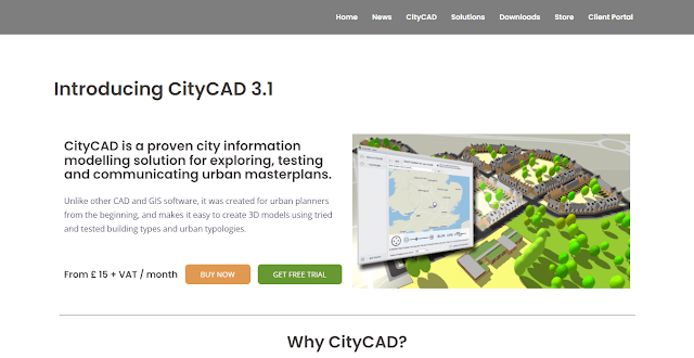
| Based | Online |
| Launched | London |
| Year | 2008 |
| Pricing | Freemium |
The user interface makes this program easy to learn and use, so you can make your next urban planning project a success.
CityCAD has different pricing plans, depending on the number of projects you want to work on at one time.
CityCAD Pro allows for unlimited projects (and includes some additional features).
To see examples of projects created using CityCAD, visit the website’s gallery page here.
You’ll also find detailed instructions for installing or upgrading your account here if you’d like more information about how exactly this software works!
5. Giraffe
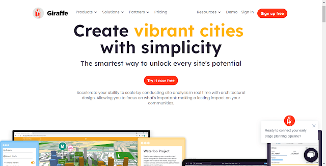
Giraffe is a quick and simple way to design and visualize urban plans.
| Based | Online |
| Launched | Ukraine |
| Year | 2016 |
| Pricing | Freemium |
It is a parametric urban design tool that enables you to build virtual cities in minutes.
It helps you create custom buildings, streets and parks, then share them with friends or the whole world.
It’s perfect for planning out those big ideas for your next project, or just playing around with new concepts for fun!
6. TestFit
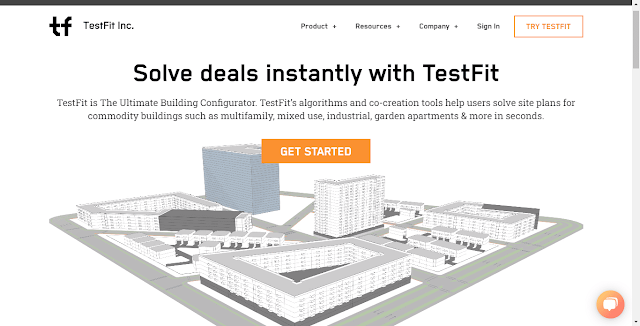
TestFit is a 3D visualization and planning software that helps you create floorplans.
| Based | Online |
| Launched | Dallas |
| Year | 2016 |
| Pricing | Freemium |
It’s cloud-based, so you can access it from anywhere and make changes on the go.
The tool has an intuitive drag-and-drop interface, making it easy for even beginners to get started.
What makes TestFit unique is its ability to pull up 3D models of the space you’re designing in seconds—making it easy to view your design from all angles before committing anything (both literally and figuratively).
7. Lumion
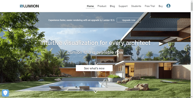
Lumion is a 3D rendering and visualization software that enables architects and designers to create videos, images, and 360 panoramas of their projects.
| Based | Online |
| Launched | Dutch |
| Year | 2010 |
| Pricing | Free |
Lumion has a number of features that make it possible to create 3D visualizations at a fast speed.
- Supports both 2D and 3D animations with its dynamic lighting effects, as well as dynamic reflections on glass surfaces.
- Comes with an automatic batch exporter for popular formats such as FBX, OBJ, XSI/MAX/C4D and Cinema 4D PLY files (including subdivision surfaces).
- Supports for the CINEMA 4D R14 file format via ScriptWorks by MAXON.
- Supports importing geometry from other Autodesk products like Revit or SketchUp Pro.
- Models can be imported from these programs using their native file formats or exported.
8. 3D Cityplanner
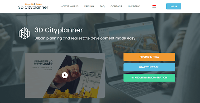
3D Cityplanner is a browser-based, 3D urban planning software.
| Based | Online |
| Launched | Amersfoort |
| Year | Unknown |
| Pricing | Freemium |
The program allows you to build the city of your dreams in a virtual environment.
Features include
- Easy-to-use
- Smart building tools
- Turn-based multiplayer
- Mod support
The software provides an intuitive interface with which players can easily control the placement of buildings within their desired layout.
This allows for quick creation of complex structures such as skyscrapers or townships without having to learn complicated CAD programs.
Users can also import existing models from SketchUp or Blender into their projects.
They can edit them within the program itself before exporting them back out again if needed (although this feature may not work on all devices).
9. ArcGIS Urban
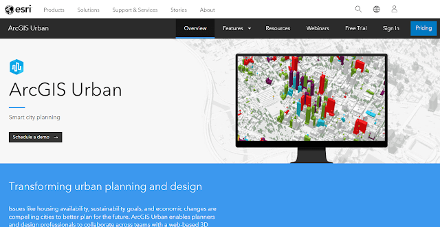
ArcGIS Urban is a 3D planning and design platform that helps you create detailed, realistic 3D models of urban spaces.
| Based | Online |
| Launched | California |
| Year | 2008 |
| Pricing | Freemium |
With ArcGIS Urban, you can model, visualize, analyze and share your ideas with others.
Features-
- Create accurate 3D city models to explore your data in new ways.
- Easily combine maps with imagery and information from other sources like census data or address lists to gain insights into real-world problems.
- Communicate ideas more clearly by sharing street-level perspectives on mobile devices or interactive web pages
10. Bentley OpenCities Planner
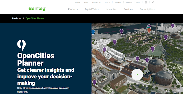
Bentley OpenCities Planner is a highly specialized urban design and planning software solution.
| Based | Online |
| Launched | Unknown |
| Year | Unknown |
| Pricing | Freemium |
It is designed to help planners, architects, and engineers visualize, design and analyze the design of new cities and urban developments.
The software enables you to create 3D city models with realistic terrain models.
It also provides powerful tools for creating street networks, analyzing traffic flow at intersections, evaluating pedestrian movement across streets or pedestrian routes through buildings.
11. EDS Technologies
EDS Technologies is a software company that provides solutions for different industries.

| Based | Online & Offline |
| Launched | Bangalore |
| Year | 1995 |
| Pricing | Paid |
They offer a wide range of services, including urban planning, engineering, forestry and mining.
Their products are available in English, Spanish and French languages but not in open source format.
The company offers a 3-month free trial to its clients so they can see if it’s worth their investment to go with EDS Technologies software solutions.
12. Modelur
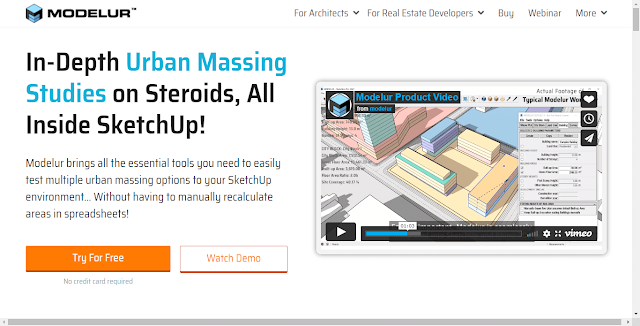
Modelur is a smart 3D city modeling software for urban planners and architects.
| Based | Online |
| Launched | Slovenia |
| Year | 2009 |
| Pricing | Freemium |
The tool helps users to create urban plans from scratch by defining parameters such as land use, transportation systems, buildings and infrastructure in a simple and easy way.
Modelur provides different tools for creating urban plans like-
- Street Network Generation Tool: Generates streets based on a set of rules (grid or curvilinear).
- Road Network Generation Tool: Generates roads based on the network generated with the Street Network Generator.
- Land Use Zone Generator: Generates land use zones based on a set of rules.
Conclusion
So, there you have it.
This was the list of Best urban planning software for 2024.
These products are designed by professionals and will assist you in making the best decisions when working on your projects.
Let me know which technical blog do you want to read next!

Post a Comment